
80 New Waypoints and Counting: Field Reports from ADT Illinois
Rhiis and Sara have contributed 80 new waypoints across the ADT in Southern Illinois — including a new Trail Angel, dispersed camping, water sources, and track corrections.


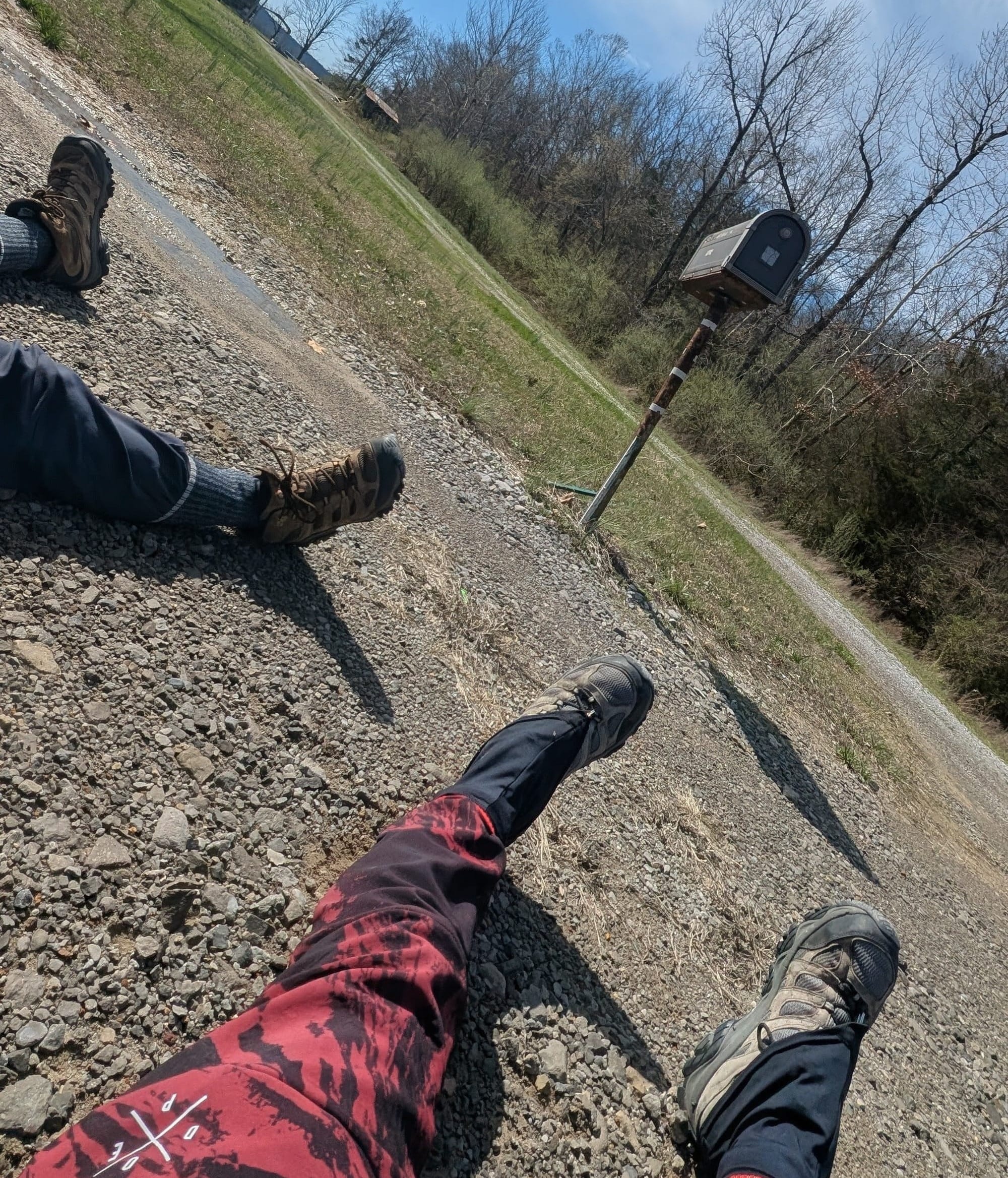
Two weeks ago, Rhiis and Sara stepped back onto the trail in southern Illinois. Since March 10, they’ve contributed 80 new waypoints to our navigation data across Illinois South Segments 5 and 6.
Rhiis & Sara
Westbound - Eastern, Northern & Southern Routes
Began: February 21, 2025 - Cape Henlopen, DE
Paused: November 5, 2025 - Julesburg, CO
Restarted: March 10, 2026 - Illinois/Indiana Line - Southern Route
Support Links: ImHikingAmerica, TrailJournals, YouTube, Venmo
Eighty waypoints in under two weeks. That’s not a typo.
Here’s what that looks like in practice: new dispersed camping areas identified and mapped. Water sources verified. Services updated throughout both segments. Blowdown locations are pinned so you know what’s ahead. An area where blazes have faded or gone missing entirely — noted and added to our data so you’re not standing at a junction wondering which way to go.
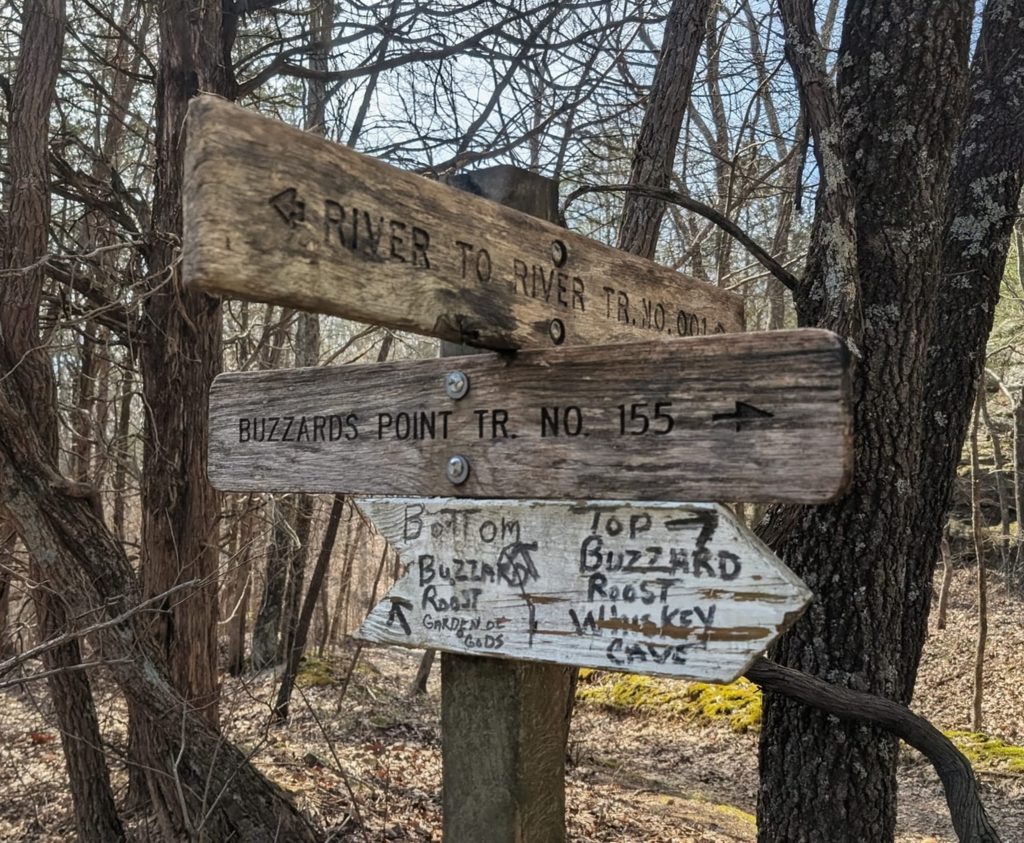
They also flagged spots where our tracks drifted a few feet from the actual River to River Trail path. We’ve made those corrections. And a track adjustment on Segment 5 shaved 0.2 miles off the route — not a huge number, but it reflects the kind of precision that adds up over 6,800 miles.
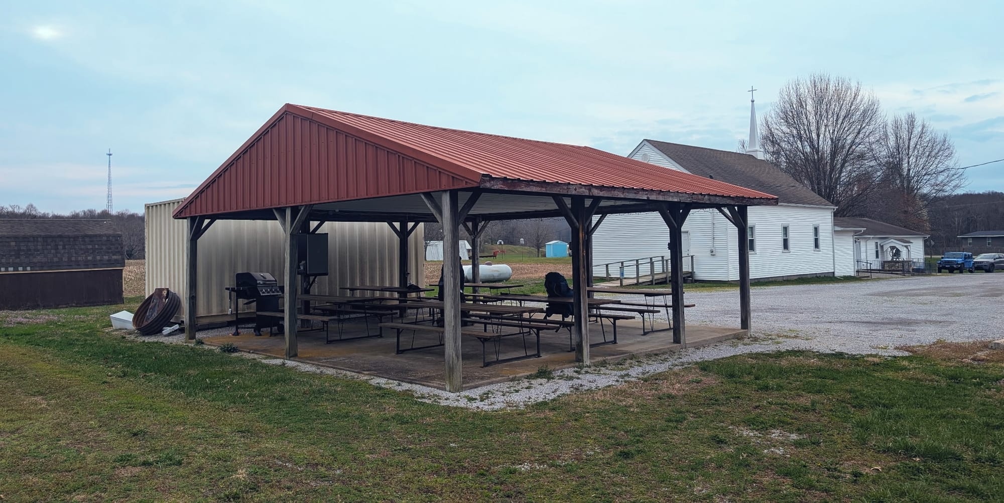
A New Trail Angel in Illinois
One of the standout discoveries: Rhiis and Sara have elevated Herod Springs Baptist Church to Trail Angel status. A church trustee told them hikers are welcome to camp under or around the pavilion. The pavilion has lights, electric outlets, six picnic tables, and a grill. The fridge is stocked with water and food. His contact information is now in our Gaia GPS data, so if you’re coming through that section and need anything, it’s right there in your waypoints.
That’s the kind of trail generosity that makes the ADT special — real people in real communities opening their doors to hikers passing through.
Why This Matters
This is how Hiking America’s navigation data stays accurate. Not through satellite imagery or armchair routing, but through hikers like Rhiis and Sara who are out there right now, walking every mile and telling us what they find.
When they report that blazes have faded on a section of Segment 5, that note goes into our data the same week. When they discover a church pavilion with a stocked fridge and a welcoming trustee, that becomes a waypoint other hikers can count on. When our tracks are off by a few feet from the actual trail, their feedback gets it corrected.
This is what real-time trail intelligence looks like. It’s not glamorous. It’s methodical, detail-oriented work that happens one segment at a time. And it’s what makes the difference between navigation data you can trust and data that’s just close enough to get you in trouble.
From the Trail
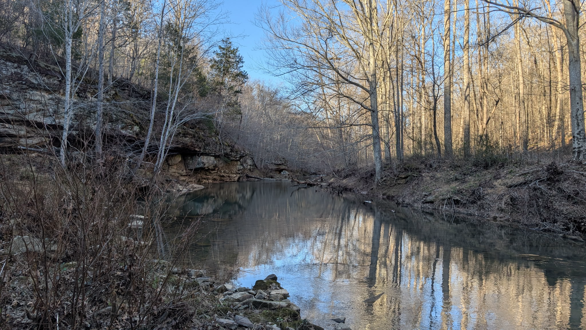
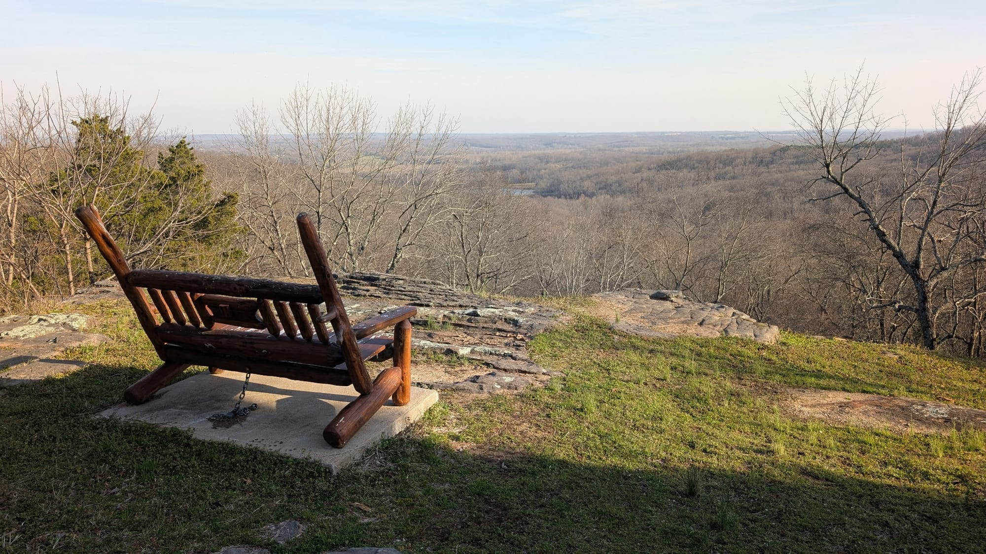
Rhiis put it simply: “I have to say, this area is incredible. It reminds me of Buckeye Trail, Hocking Hills, combined with I don’t even know what. Really cool area.”
If you’ve been sleeping on southern Illinois as an ADT section, consider this your wake-up call.
What’s Next
Rhiis and Sara are still moving. As they push through more ADT segments this spring, we’ll continue logging their field reports and updating our GPS data and turn-by-turn guides in real time. If you’re planning a 2026 ADT hike — or even just daydreaming about one — this is the kind of ongoing work that’ll be waiting for you when you’re ready.
The trail keeps getting better because the people walking it keep sharing what they find. 🥾

Hike Your Hike - John.
Hiking America provides independent GPS navigation tools and resources for the American Discovery Trail and the Great American Rail-Trail. Our routes are independently developed and verified through continuous field research and hiker feedback.
