Hiking America UPDATE: Colorado's Eastern Plains
We've updated the 219-mile long glideslope from Cañon City through the eastern plains to the Kansas state line. The ADT Guide: Colorado South Seg 5 is now 113 pages – dozens of new waypoints, hiker notes, pages of maps.

The final segment of the eastbound American Discovery Trail's Southern Route in Colorado is a 219-mile long, slow descending 2000 foot glideslope from Cañon City in the foothills of the Front Range through the eastern plains to the Kansas state line.
The update to our 113 page ADT Guide Colorado South Segment 5 adds a dozen more waypoints, even more hiker notes, and increases the resolution of our exclusive American Discovery Trail maps to 2-3 miles per page.
Pueblo Levee Restoration Underway
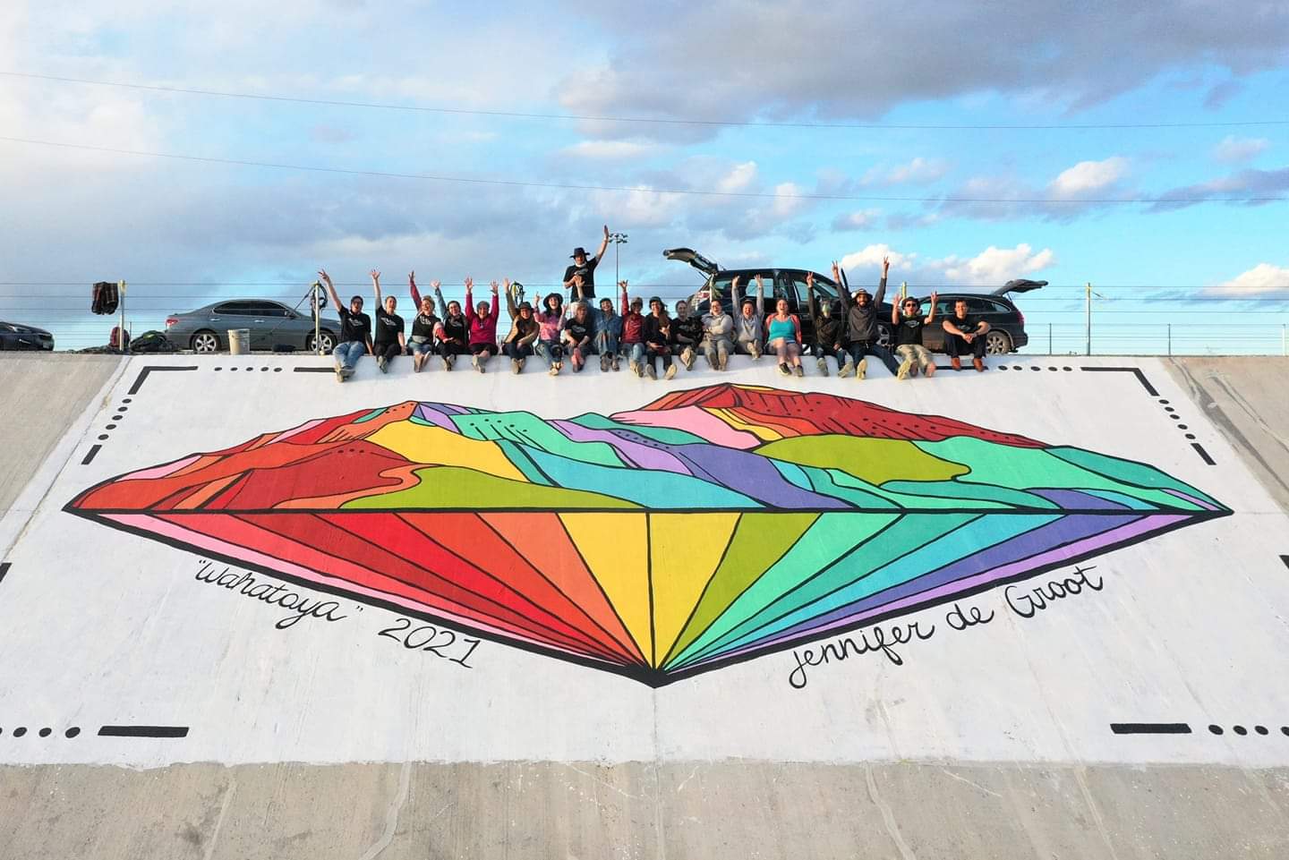
As you pass through Pueblo along the Arkansas River Multi-Use Path, you will see restoration work underway on the Pueblo Levee Mural Project, once certified by the Guinness Book of Records as the longest painting in the world. It was a 3-mile long continuous mural started in the 1970s by Colorado State University Students painting over existing graffiti. They worked at night to evade notice by the police, and in the end, the work received support from the community; since 1988, it has had a dedicated coordinator.
In 2014, it was determined the nearly 100-year-old levee needed to be resurfaced to shore up areas bulging and cracking – work that wiped out all of the paintings.
Fast forward to today – 2021! The resurfacing work is complete; work to return art to the levee is underway!

The Colorado South Segment 5 loosely follows the Arkansas River and the Mountain Branch of the Santa Fe National Historic Trail. Services are easy to come by as you pass through numerous ranching communities including Avondale, Fowler, Manzanola, Rocky Ford, La Junta (Bent's Old Fort National Historic Site), Lamar, and finally Holly, which sits just 6 miles from the Kansas state line.

